Roof
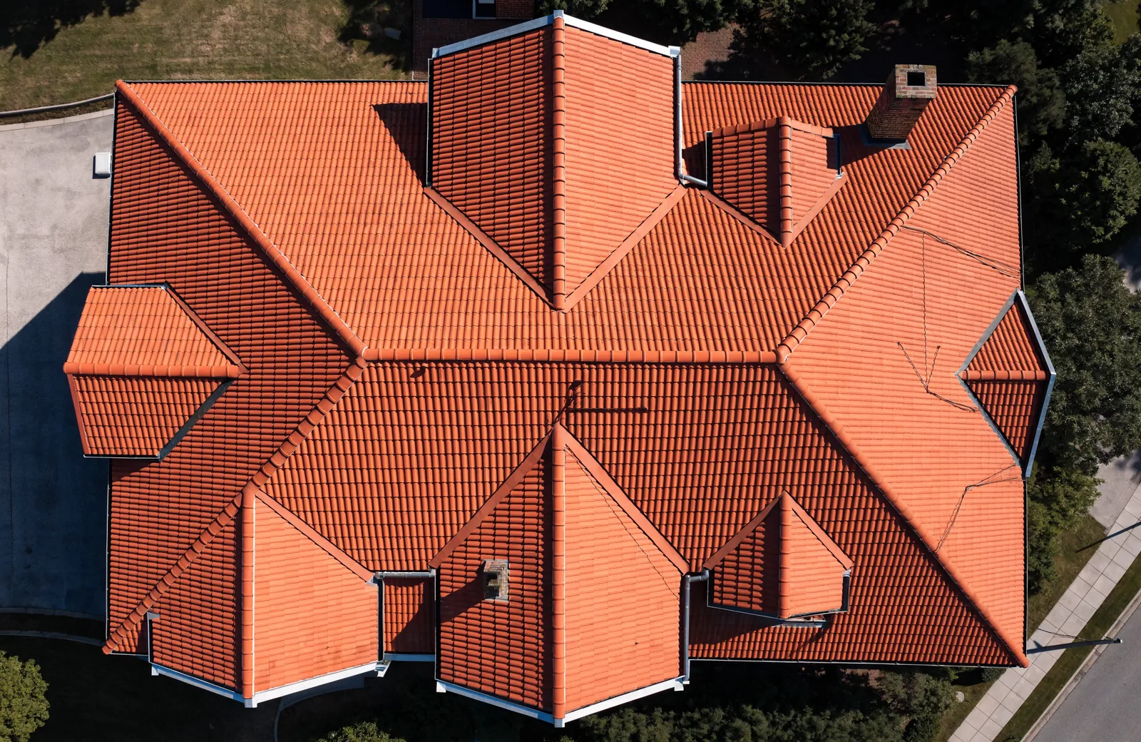
Measuring a roof by drone: what you get out of it
No scaffolding, no ladder, no risk: how an aerial roof survey works and what data ends up in your hands.
What a drone can do for your roof, your façade or your damage claim, how accurate the results get and what to watch out for. From practice, without the jargon.
No scaffolding, no ladder, no risk: how an aerial roof survey works and what data ends up in your hands.
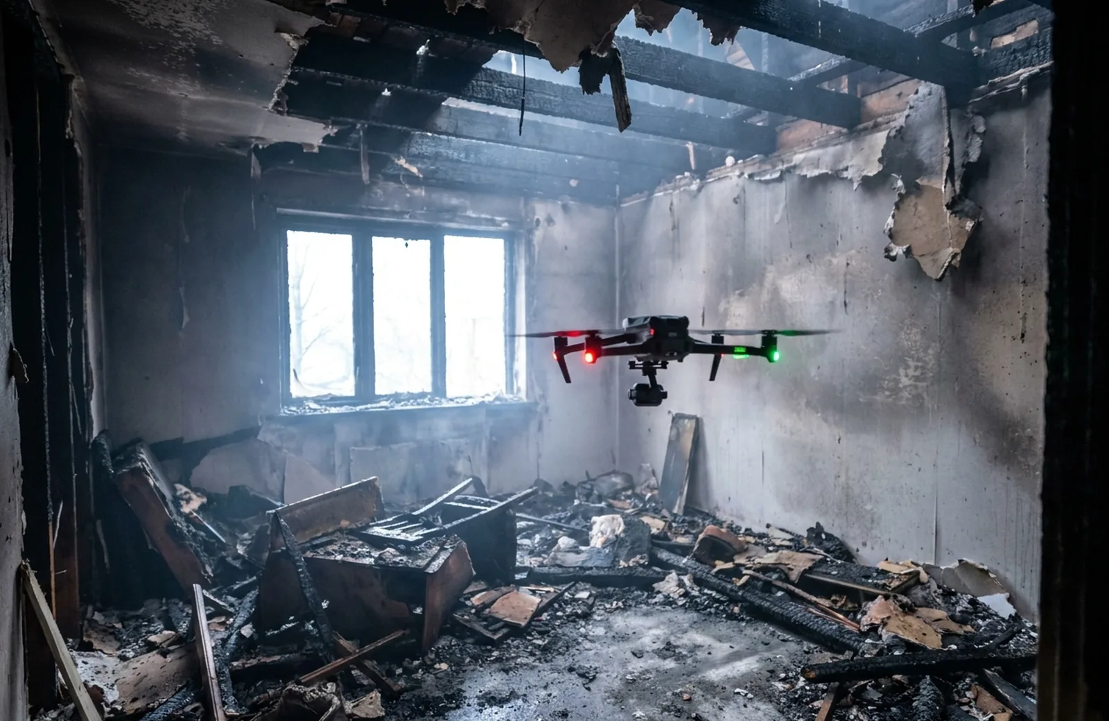
When entering is too dangerous: how a drone records the damage indoors and what insurers and loss adjusters get out of it.
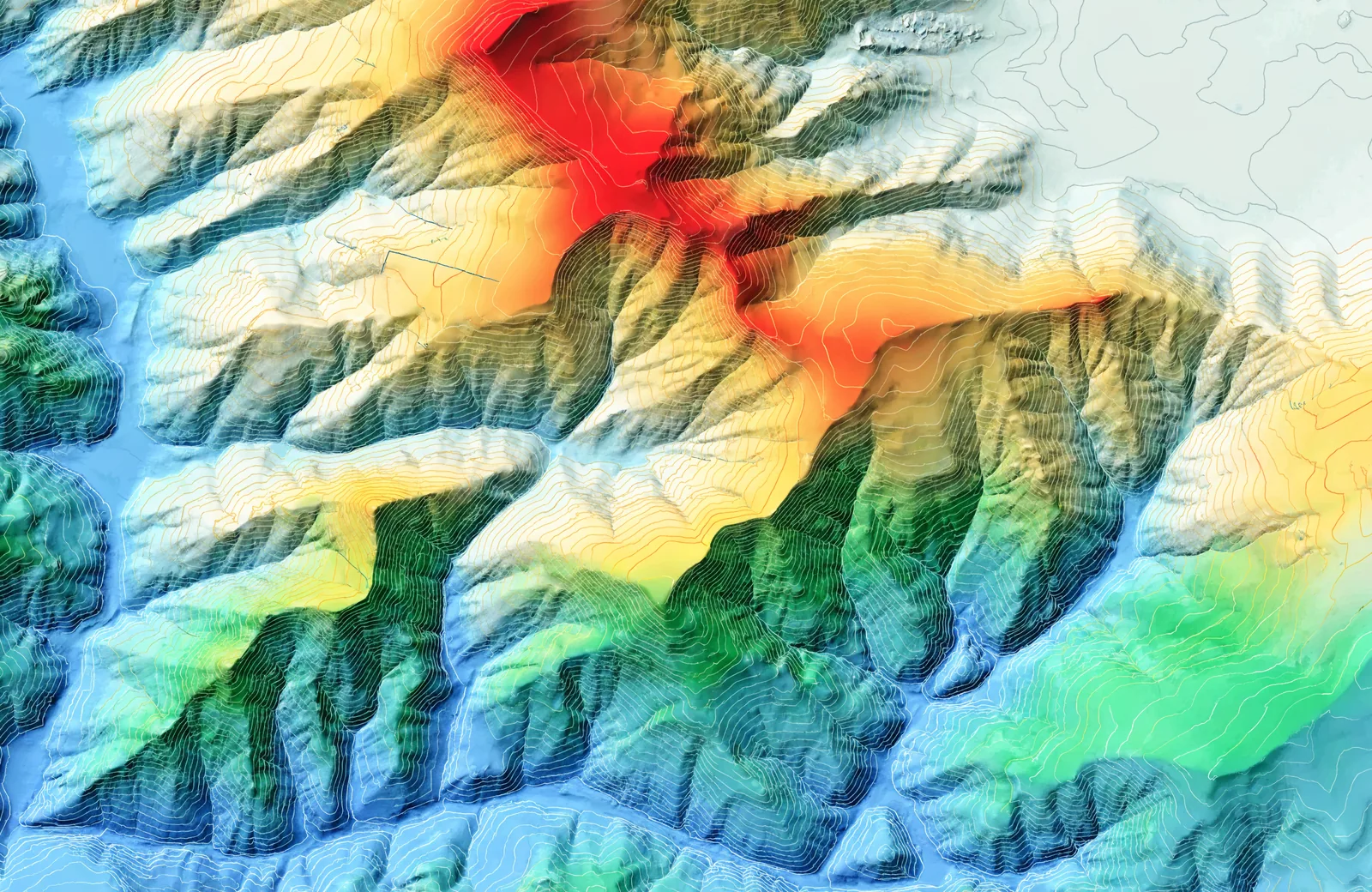
What sits behind RTK and ground control points, why they belong together, and when a simple photo flight is enough.
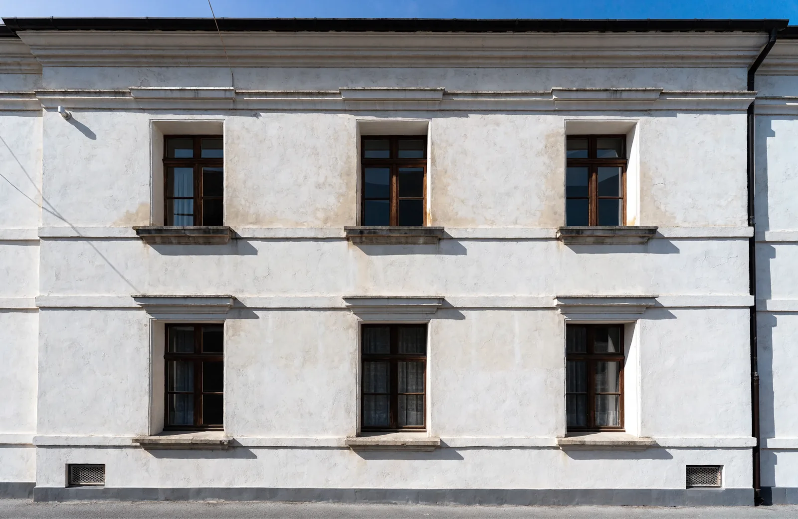
Solid square metres without a cherry picker: how façades and glass areas are captured and what you need that for.
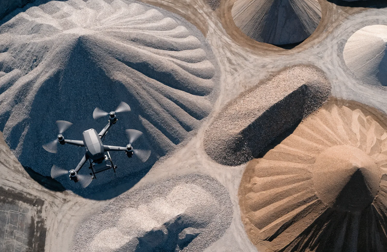
Cubic metres instead of gut feeling: how stockpiles and excavation are calculated from drone imagery.
Which rules apply to commercial flights, when a permit is needed, and how I handle neighbouring properties.
Façade dimensions, obstacles and standing areas from the air: how scaffolders quote faster and what a 3D model adds.
Write to me about your case. I usually reply within 24 hours.
Start an enquiry