Calculating stockpile and excavation volumes
How much is on the yard, and how much came out of the excavation? I fly over the area and calculate the volume from the imagery, with nobody climbing on the material.
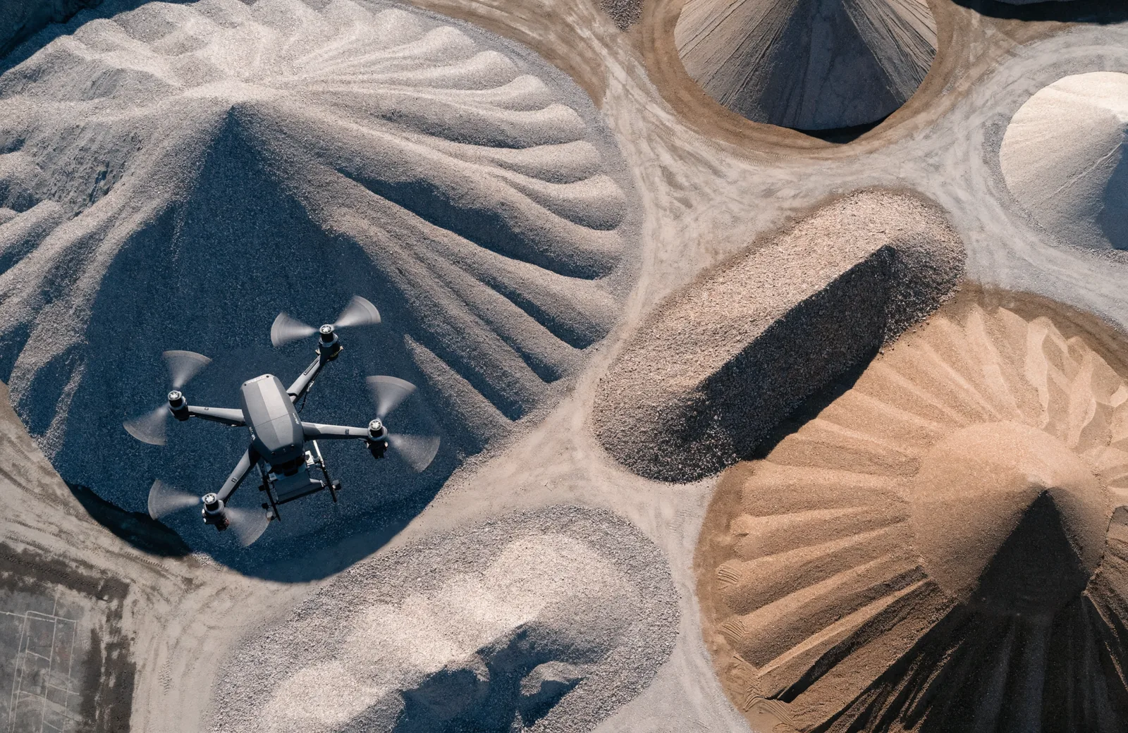
What you need it for
- Record stock on storage yards at a given date
- Evidence excavation and backfill on site
- Put client and supplier on one shared figure for invoicing
- Track changes over time, for example month by month
How it works
- We settle the reference plane: the level ground around it, or an earlier survey.
- I fly the area in even lanes with heavy overlap.
- The imagery yields a terrain model, a digital image of the surface including heights.
- The volume is the space between that surface and the reference plane.
What you receive
- Volume in cubic metres, separated per pile or area
- Terrain model and elevation plan of the area
- A measurable aerial image of the whole area
- On request a comparison of two dates showing what came in and went out
Good to know
- The pile should stand free, not half under a roof or between vehicles.
- Vegetation distorts the result, because the camera sees the grass and not the ground beneath.
- For figures that have to hold up I place ground points and evidence the accuracy achieved.
Service area: around Oldenburg, Lower Saxony, and across northern Germany on request.
In depth in the guide: Read the guide article
Sounds like a fit?
Tell me briefly about your property and what you need the data for. I get back to you with an assessment and a quote, usually within 24 hours.
Start an enquiry